
russell shortt
DEVELOPMENT DESIGN AND APPROVAL
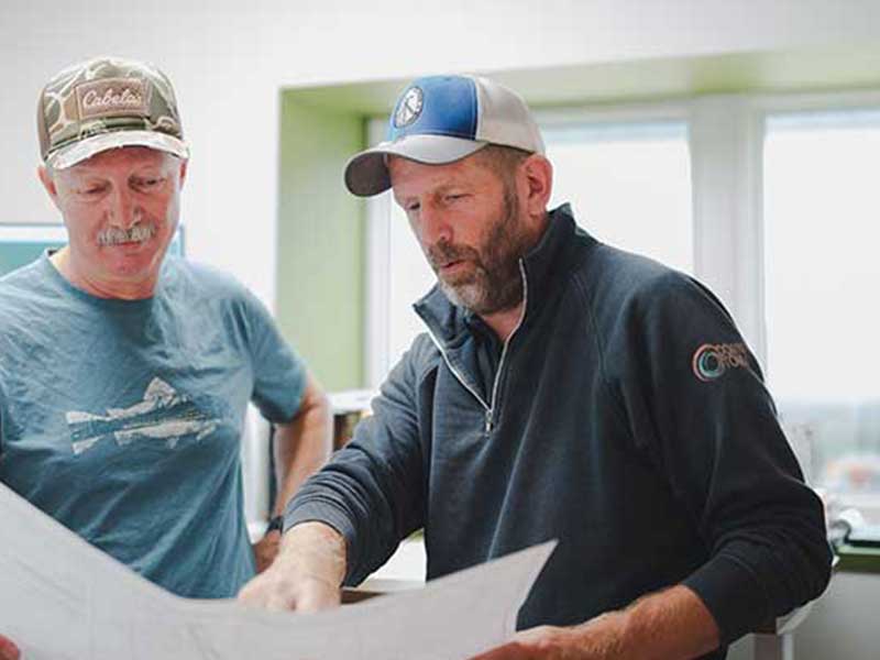
Achieving development approvals requires more than just a plan; it demands critical surveying expertise. Our BC Land Surveyors (BCLS) are key to your success, utilizing advanced spatial data and topographic surveys to design compliant subdivisions and strategically navigate the complex municipal and government approval process efficiently.
Put our consultants to work for you to navigate your project through the process of the government approvals to complete your plans. We provide drafting design services by utilizing digital technologies to develop custom plans quickly and accurately.


Subdivision design and planning consists of conceptual plans, area structure plans, level planning for urban land use and storm water management. Phasing and disclosure plans are custom developed for each unique project. We use state-of-the-art technology to provide accurate spatial data, boundary definitions and geo-referenced statistics so you can move forward with your development project.
We are committed to assisting you through every step of the process from inception to the final registration of your plans. Our drafting team ensures your plans are prepared and issued quickly with detailed accuracy.
- Topographic Surveys
- Elevation Maps
- Subdivision Design
- Legal Survey Plan and Title Creation
- Manage Client/Developer/Municipal Liaison Requests
- Revisions Throughout Approval Process
- Clear and Concise Communications At All Project Phases
- Client/Developer/Municipal Liaison
- Legal Survey Plan and Title Creation
- Subdivision Design

LEGAL LAND SURVEYS

DEVELOPMENT DESIGN AND APPROVAL

CANADA LAND SURVEYS
get in touch
2801 32 Street Vernon, British Columbia, Canada V1T 5L8![]()
![]()
![]()